.png)



Read conditions, not headlines
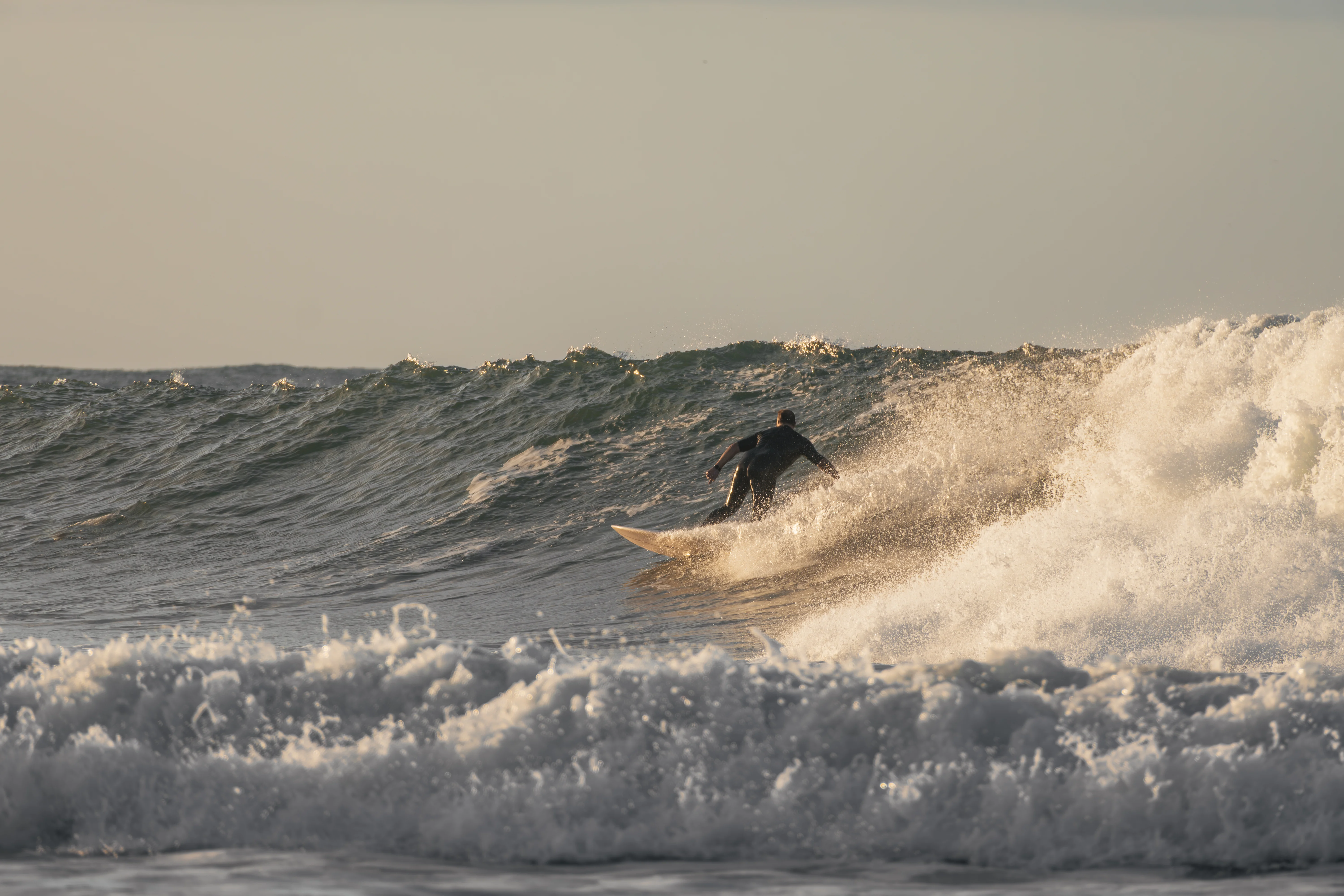
A surf forecast does not say “good” or “bad.” It describes parts of a system: wave height, swell period, swell direction, wind, gusts, tide and water temperature. Skill comes from connecting those variables to a specific break and to your ability. Two breaks a short drive apart can react very differently to the same offshore swell.
This guide is designed to sit beside the dynamic “Surf conditions now” module on the Todos Santos surf hub. It does not replace beach observation. It teaches you what to look at before deciding where—and whether—to paddle out.
First: separate “waves” from “swell”
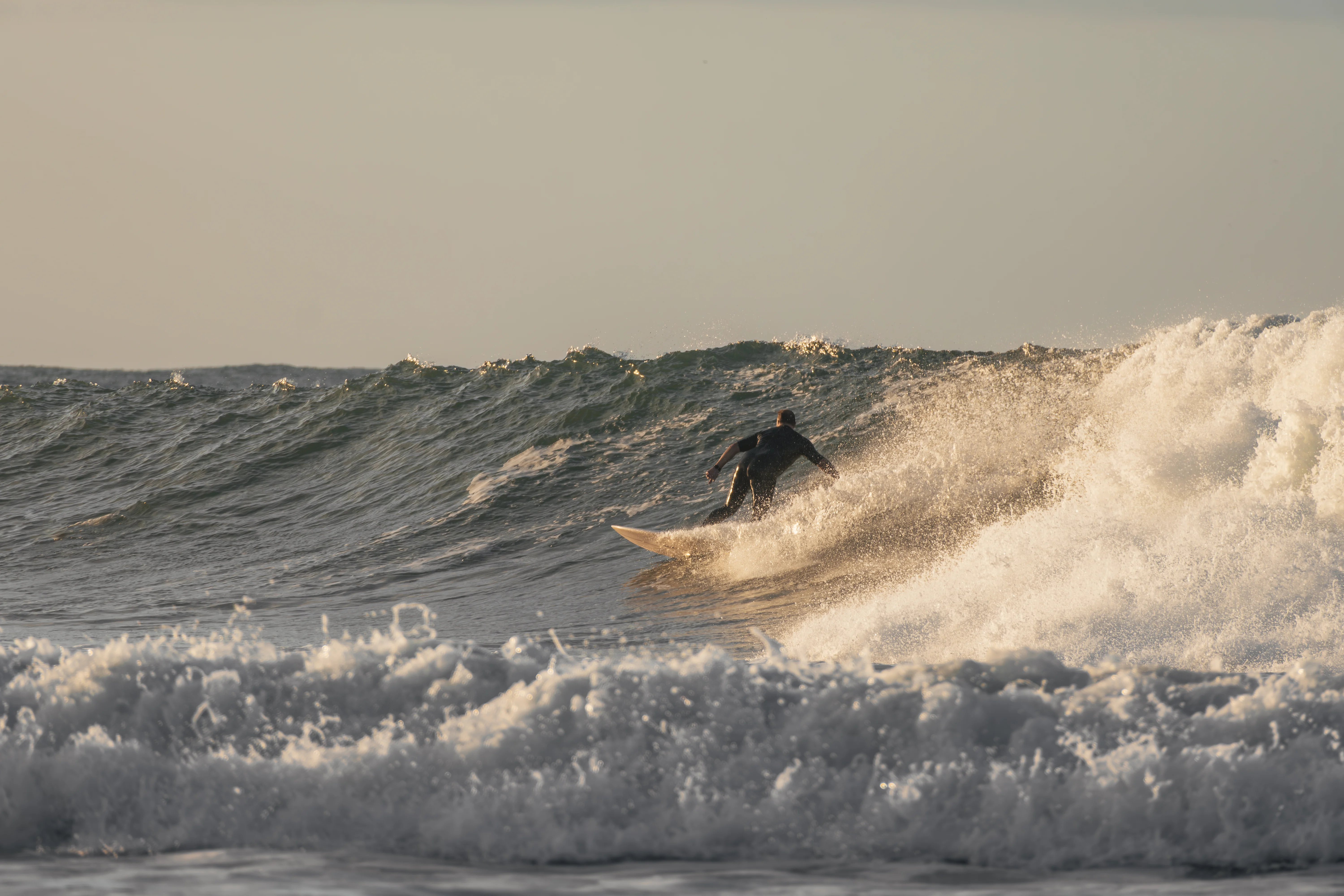
Many reports display total wave height and, separately, one or more swell components. Total height summarizes the modeled sea state at a point. A primary swell represents a more organized source of energy described by height, period and direction. Multiple swells can cross, reinforce or interfere with one another, creating a sea that does not behave like a single perfect line.
That is why two “four-foot” days can feel completely different. One may have short-period local energy and wind texture; another may have longer-period lines arriving in distinct sets. The headline number begins the analysis—it does not finish it.
1. Wave height: modeled size, not guaranteed surfable face
Model height helps frame the general sea state, but it does not directly equal the face of the wave you will surf. Bathymetry, coastline orientation, refraction and break type transform incoming energy. A broad beach break such as Cerritos can distribute energy among several peaks while a more exposed break can react in another way.
Avoid universal rules such as “three feet is beginner surf.” Three feet at longer period can carry far more power than three feet of short-period wind swell. Beginner suitability also depends on instruction, board, current and the part of the beach being used.
2. Period: one of the numbers that most changes how surf feels
Period is measured in seconds and describes time between dominant wave crests. As a conceptual rule, longer-period swell often carries more organized energy and can feel more powerful when it reaches shallow water. It does not automatically mean better. If direction is wrong or size exceeds your ability, that extra organization may be exactly what you do not need.
Longer period also makes set timing important. The ocean can look quiet for several minutes and then deliver a clearly larger set. This is a practical reason not to make a paddle-out decision after two minutes of observation from the parking area.
Height without period loses energy context. Period without height loses scale. Add direction and wind before reaching a conclusion.
3. Swell direction: angle changes the break
Direction is usually shown in degrees or compass points. You do not need to memorize every bearing. You need to understand that each beach faces a particular way and incoming energy can arrive directly, obliquely or be partially shadowed by coastline. A northwest swell and a south swell can create very different surf even when height and period look similar.
Around Todos Santos, that is central to comparing Cerritos, San Pedrito and La Pastora. The hub places them together because the useful question is not “is there swell?” but “which break receives this combination best, and which one fits my level?” Our San Pedrito vs. La Pastora guide develops that decision for stronger surfers.
4. Wind and gusts: what happens on top of the swell
Local wind changes surface quality. Wind from land toward the ocean can hold up and clean the face in some scenarios; wind from ocean toward land can create texture and disorder. But “offshore good / onshore bad” is too simple. Strong offshore wind can make takeoffs difficult, while light crosswind can be acceptable depending on the break.
Gusts matter because a moderate average can hide much stronger moments. A report showing 8 mph wind with 18 mph gusts describes a more variable experience than the first number suggests. That variability can be especially difficult for beginners controlling larger boards.
5. Tide: how much water is over the bottom
Tide changes depth, breaking point and current patterns. At a rocky break such as San Pedrito, water depth over the bottom has different consequences than at a sandy learning zone. At beach breaks, tide can move the breaking zone and change whitewater character.
We do not publish one universal “best tide.” Swell size and direction interact with water level. Check the tide table for your session window, then watch how the break is actually behaving. Current local knowledge is more useful than an old generic rule.
6. Water temperature: gear planning, not wave quality
Sea-surface temperature helps plan neoprene and comfort. It does not tell you whether surf will be good. Combine it with air temperature, wind, session length and personal cold tolerance. The Todos Santos surf-season guide explains the seasonal context.
A five-step method for reading “Surf conditions now”
- Start with the break and your ability.Before reading numbers, decide which breaks are reasonable for you. A perfect La Pastora forecast is irrelevant if your current level belongs at Cerritos.
- Read height and period as a pair.Ask how much energy exists and how it is organized. Do not convert either number into a universal difficulty scale.
- Check swell direction.Consider whether energy reaches the break at a useful angle. Compare the three spots rather than assuming one forecast applies equally.
- Overlay wind and gusts.Look beyond average wind to variability during the intended session.
- Confirm tide, then observe the beach.The model ends where the real coastline begins. Watch several sets and change the plan if the ocean does not match your expectation.
Practical examples: how the same data changes the decision
Which sources should you combine?
Use a marine model such as Open-Meteo alongside spot-specific products such as Surfline and, whenever possible, current local knowledge from surfers or instructors. NOAA and other meteorological agencies provide useful background on swell and marine terminology, but paddle-out decisions are local decisions.
Guaycura's module is explicitly labeled as modeled data and not an on-beach observation. That qualifier is not fine print. It is the correct way to use a forecast.
Forecast FAQ
What matters more, height or period?
Neither alone. Read both with direction and wind. The same height can create very different surf depending on period and break orientation.
How many days ahead should I check?
A week is useful for a trend; 24–48 hours is more relevant to a specific spot decision. Still verify at the beach.
Does a favorable direction guarantee good surf?
No. Size, period, wind, tide and bottom conditions still matter.
Why does the beach not look exactly like the report?
A model represents conditions over a grid and set of variables. The coastline transforms that energy and local effects can differ from modeled output.
Check conditions, then decide
Return to the Todos Santos surf hub for dynamic readings at Cerritos, San Pedrito and La Pastora. If the ocean does not fit the plan, change the session; Todos Santos has enough art, food, beach and culture to make that the right decision.
.webp)
Get the best of Todos Santos before anyone else